
According to the Missouri State Department of Natural Resources, "Want to fly your drone? There are no laws prohibiting drones on state park grounds, but we do ask that you keep it to the main, open day-use areas and be respectful of other visitors in the park. If you will be taking photos for professional use or sale, there would be a process to go through to gain approval for that.
Go to https://mostateparks.com/park/gov-daniel-dunklins-grave-state-historic-site for more information.
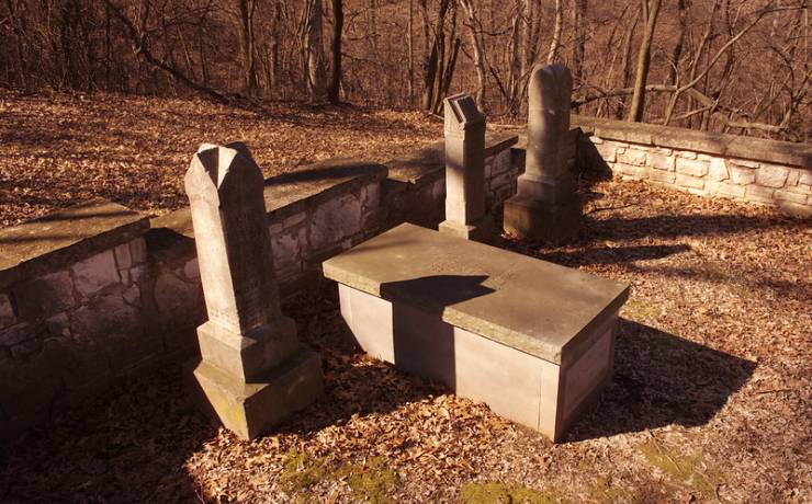
Gov. Daniel Dunklin's Grave State Historic Site is located near the town of Pevely in Jefferson County, Missouri. This site serves as the final resting place of Missouri's fifth governor, Daniel Dunklin, who served from 1832 to 1836. The location offers a serene and picturesque setting atop a bluff, providing splendid views of the Mississippi River. The historic site is relatively small and includes Dunklin’s grave marker surrounded by a wrought-iron fence, along with some interpretive signs that commemorate his contributions to the state, particularly in the field of education.
Flying a Drone at the Site
# Legal Considerations:1. Park Regulations: To fly a drone at Gov. Daniel Dunklin's Grave State Historic Site, you must comply with Missouri State Park rules. Generally, drone use is restricted in state parks to protect wildlife, preserve the visitor experience, and ensure safety. Always check the official Missouri State Parks website or contact the park’s administration directly for the most current information on drone policies.2. Federal Airspace Regulations: - Lance Authorization: The site is located relatively close to several small airports and within the broader St. Louis metro area. Depending on the exact vicinity and altitude of your planned flight, you may require LAANC (Low Altitude Authorization and Notification Capability) authorization to fly within controlled airspace. Use the FAA's B4UFLY app or check with a LAANC-approved service provider to determine if authorization is needed. - FAA Regulations: Ensure that you're compliant with all FAA rules and regulations for recreational or commercial drone use, such as keeping the drone within visual line-of-sight, flying below 400 feet, and not operating over people.
# Practical Considerations:- Local Wildlife and Visitors: Even if legally permitted, be considerate of other visitors and local wildlife. Drones can be noisy and may disturb the peaceful ambiance of the site.- Geography: The bluff area provides stunning views, but also presents challenges in terms of wind and navigation. Be sure to account for local geographic features that can affect your drone’s performance.- Photographic Opportunities: If flying a drone is allowed and you receive all necessary permissions, this site offers beautiful views of the river and surrounding landscapes that could be very rewarding for aerial photography.
Summary:While Gov. Daniel Dunklin's Grave State Historic Site offers compelling scenic views that might make for great aerial footage, you will need to investigate thoroughly whether drone use is permitted by checking with state park authorities. Additionally, you may need LAANC authorization to ensure compliance with federal airspace regulations. Be sure to adhere to all restrictions to ensure a safe and lawful flight.
Gov. Daniel Dunklin's Grave St Hist Site, 104 Dunklin Dr, Herculaneum, MO 63048, USA
Trail outline N/A
NULL
No
